by william | Jul 29, 2023 | Uncategorised
Revolutionizing Surveying and Building Industry: The Advantages of Skynetvideo’s Drone Photogrammetry and Aerial Services In the past, surveying and building professionals faced numerous challenges in accurately capturing data, mapping terrains, and visualizing...
by william | Jul 30, 2021 | Aerial Survey, Blog, Uncategorised
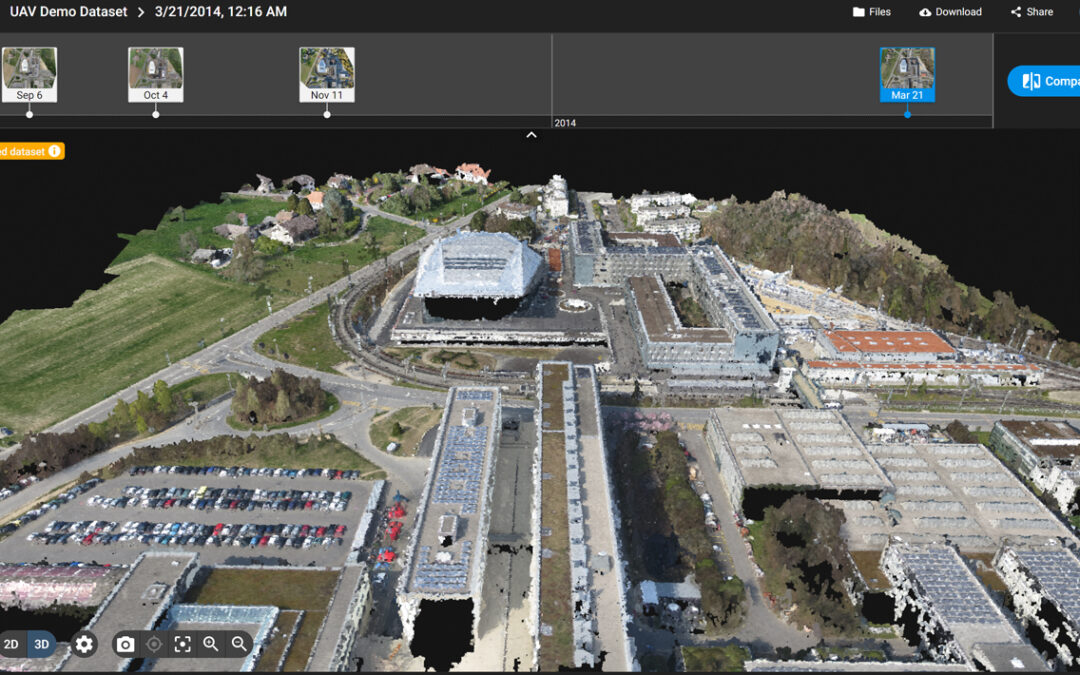
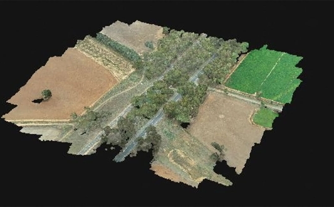
The Photogrammetry process allows for easy access to a geographically accurate model with the measurement accuracy being ± 20mm. The drone travels across the site in a grid formation with the second grid being perpendicular to the first to create a 3D map. The drone...
by william | Jul 8, 2020 | Uncategorised
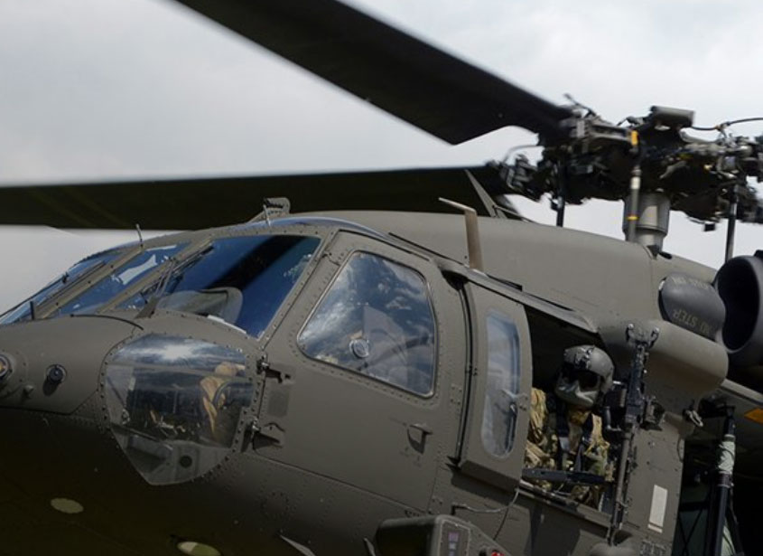
Drone collides with Helicopter12/14/2017WASHINGTON (December 14, 2017) — According to The National Transportation Safety Board a drone collided with a U.S. Army helicopter and was caused by an unlicensed drone pilot who was flying his drone out of visual range. He...
by william | Apr 11, 2020 | Uncategorised
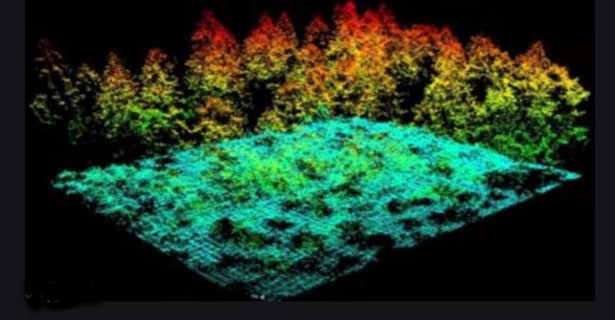
https://www.commercialuavnews.com/ Commercial UAV News is providing free webinars and first up is titled :WHAT’S THE FUTURE OF LIDAR?LIDAR stands for Light Detection and Ranging and is a remote sensing utility using pulses of light to determine ranges of variable...

by william | Jan 22, 2020 | Uncategorised
We are CASA (Civil Aviation Safety Authority) certified and approved to perform commercial operations. Marc Wakefield ARN : 1019625William Wakefield:...