by william | Jul 30, 2021 | Aerial Survey, Blog, Uncategorised
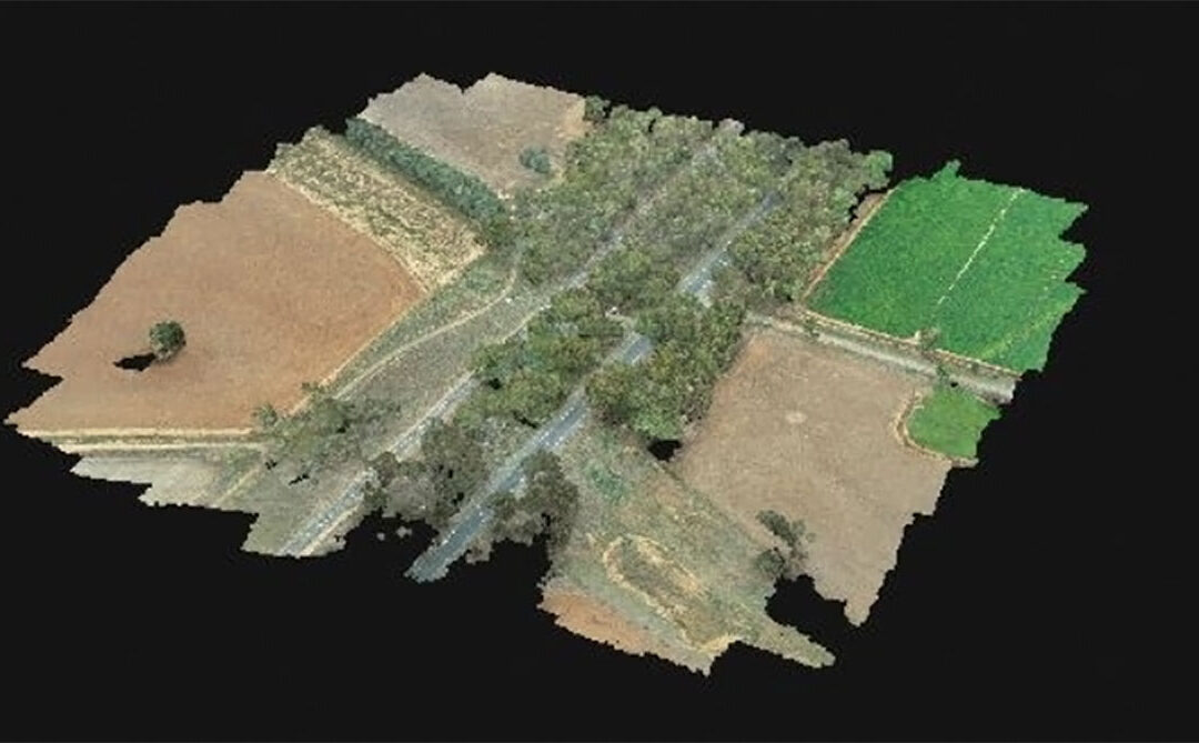
The Photogrammetry process allows for easy access to a geographically accurate model with the measurement accuracy being ± 20mm. The drone travels across the site in a grid formation with the second grid being perpendicular to the first to create a 3D map. The drone...